


ACONCAGUA 1-50K MAP
Quick Overview
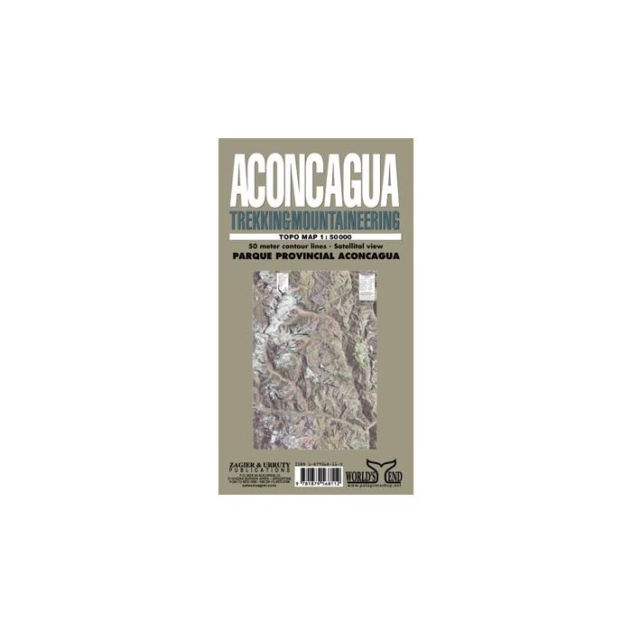
Attractive, detailed topographic map covering the whole of the Aconcagua Provincial Park and its immediate surroundings
Aconcagua Map
| ISBN: | 9781879568112 |
| Scale: | 1:50,000 |
| Size Folded: | 13x24cm |
| Size: | 72x102cm |
Attractive, detailed topographic map covering the whole of the Aconcagua Provincial Park and its immediate surroundings: an area measuring approx. 33km east-west by 45km north-south. The map uses satellite imagery enhanced by colours as it base, with contours at 50m intervals and spot heights. The road in the valley south of the park leading to the cross-border tunnel and the trekking trails towards Aconcagua’s peak are clearly marked, with trekking times and GPS waypoints for refuges, camp sites and ranger stations. More symbols indicate mule hire, viewpoints, telephones, restaurants, first aid facilities and heliports. Latitude and longitude margin ticks are at 1’ intervals. Map legend includes English.
Standard/Free shipping to major capitals takes 2-5 business days (after dispatch), with occasional delays.
Order before 11am - we usually ship the same business day!
Choose Express Post for priority packing and faster shipping.


