KOMPASS NATIONALPARK HOHE TAUERN 3 Map Set 1:50,000
$44.95
Quick Overview
Detailed 3 map set to the Hohe Tauern National Park in Austria.
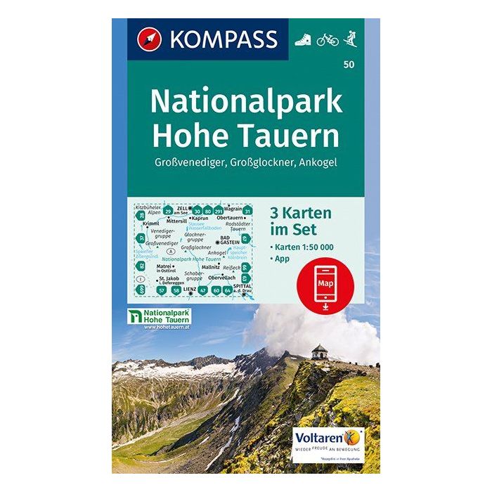
3 map set to the walking, cycling and ski touring map in the Hohe Tauern National Park in Austria.
The Hohe Tauern National Park contains the highest mountain in Austria, The Grossglockner, and Austria's largest glaciated region around the Grossvenediger. See more information about the Grossglockner in the Bogong blog Grossglockner.
There is much wonderful walking to be done in this area. Find out more about Walking in Austria and Mountain Huts In Europe.
Standard/Free shipping to major capitals takes 2-5 business days (after dispatch), with occasional delays.
Order before 11am - we usually ship the same business day!
Choose Express Post for priority packing and faster shipping.
In stock
Calculate Shipping


Related Products
Check items to add to the cart or