


MURRAY LAKES GOOLWA AND ISLANDS MAP
Quick Overview
An up-to-date navigational guide to the waterways around the Murray Lakes and islands at the mouth of the River Murray.
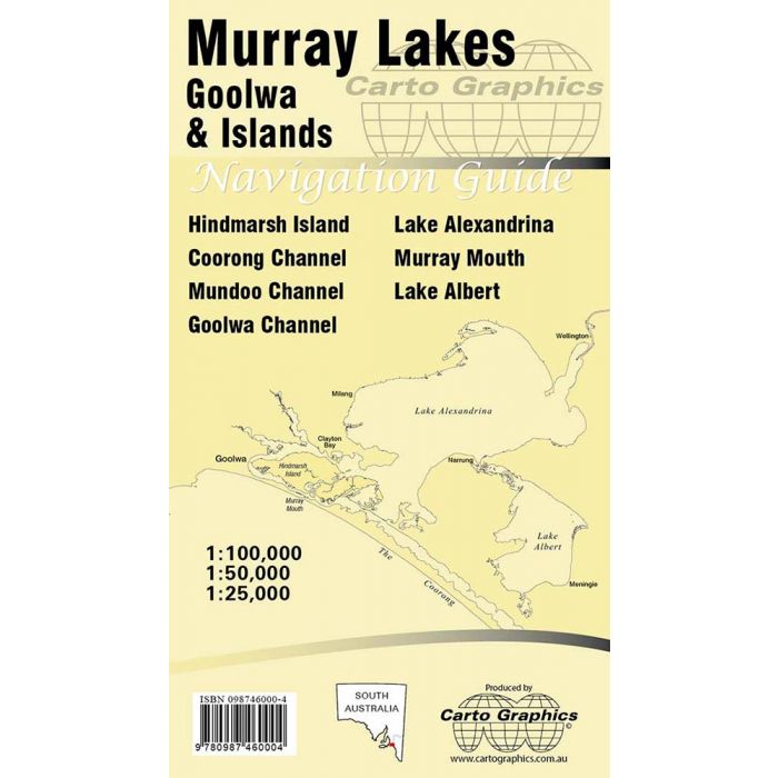
An up-to-date navigational guide to the waterways around the Murray Lakes and islands at the mouth of the River Murray. This comprehensive double-sided navigation chart shows channels, navigation marks and beacons, hazards, barrages and locks, boat ramps and marinas.
Side 1 shows the complete Lake Alexandrina and Lake Albert system including the upper Coorong, all at 1:100,000 scale with a 1:50,000 scale inset map of the Wellington-Pomanda Channel area. The other side covers the Goolwa, Milang, Clayton, Hindmarsh Island, Murray Mouth, Islands, side creeks and barrages at 1:50,000 (2cm=1km) scale with a high-detail Goolwa inset map.
The guide is printed on Stone-Paper, a tree free mineral paper manufactured from milled quarry waste. Stone-Paper has exceptional water proofing and tear resistant qualities, making it ideal for small boat conditions. This much-needed chart will assist canoeists, sailors, fishers and boat lovers in general to explore this wonderful part of our greatest river system.
Standard/Free shipping to major capitals takes 2-5 business days (after dispatch), with occasional delays.
Order before 11am - we usually ship the same business day!
Choose Express Post for priority packing and faster shipping.
Calculate Shipping


