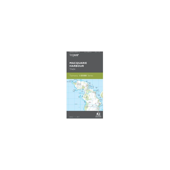
TASMAP 50K MACQUARIE HARBOUR TN04

Quick Overview
TASMAP is progressively introducing a 1:50,000 Topographic Mapping Series.
Macquarie Harbour estuary dominates this map. It is surrounded by lush cool temperate rainforest, button grass moorlands, isolated beaches and bays which can only be accessed by boat or on foot.
The Sarah Island Penal Station, regarded as one of the harshest in Australian colonies, was established in 1822. The entrance to the harbour was named “Hells Gates” by convicts, as it was the entrance to the hell of the penal station.
The popular, historical West Coast Wilderness Railway travels between Queenstown and Strahan through breathtaking rain-forested hills, crossing many bridges over the King River. This map is essential for recreational activities such as boating, bushwalking and exploration.
The design of the 1:50,000 Map Series provides a clear and accurate portrayal of topographic information, with symbols and map content giving enhanced depiction of buildings, hill shading and a simplified classification of vegetation.
- Edition: 1
- Production Year: 2017
- Datum: Geocentric Datum of Australia 1994 (GDA94)
Standard/Free shipping to major capitals takes 2-5 business days (after dispatch), with occasional delays.
Order before 11am - we usually ship the same business day!
Choose Express Post for priority packing and faster shipping.
Calculate Shipping


-
 Top Walks In Tasmania$39.95
 -
 LP - Tasmania 9$29.95