


Canadian Rockies map 1: 400 000
Quick Overview
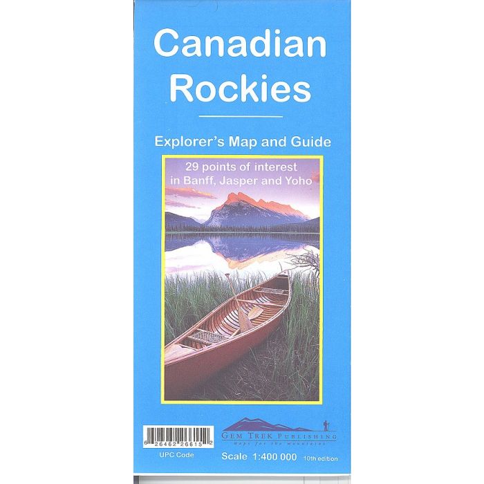
This is a popular map for the Rockies and a must-have for anyone planning a trip Banff, Jasper, Yoho, Kootenay and Waterton Lakes national parks in the Canadian Rockies.
To make sightseeing easier, 32 of the best points of interest in the parks are numbered and described. To help you find your way around, mountain lodges, campgrounds, hostels, hot springs, golf courses, ski areas, picnic areas, Visitor Centres and highway viewpoints are labelled. A mileage chart helps you plan your day by giving distances between towns.
On the back are street maps of Banff, Jasper and Lake Louise, as well as a chart showing the amenities at the National Park campgrounds in Banff, Jasper, Yoho and Kootenay National Parks. Inset maps of Western Canada, Edmonton, and Calgary show major roadways, so you can easily find your way to the Canadian Rockies.
Everything the visitor needs to know - all on one map.
Page Size: 115 x 250 mm
ISBN 10: 1895526612
ISBN 13: 9781895526615
Publisher: Gem Trek
Published Date: February 2006
Edition: 10th (2012)
Binding: Map and Guide
Weight: 60g
Standard/Free shipping to major capitals takes 2-5 business days (after dispatch), with occasional delays.
Order before 11am - we usually ship the same business day!
Choose Express Post for priority packing and faster shipping.


