


KOMPASS ZILLERTALER ALPEN Map 1:50,000
$22.95
Quick Overview
Walking, cycling and ski touring map of the Zillertaler Alpen on the Austrian-Italian border.
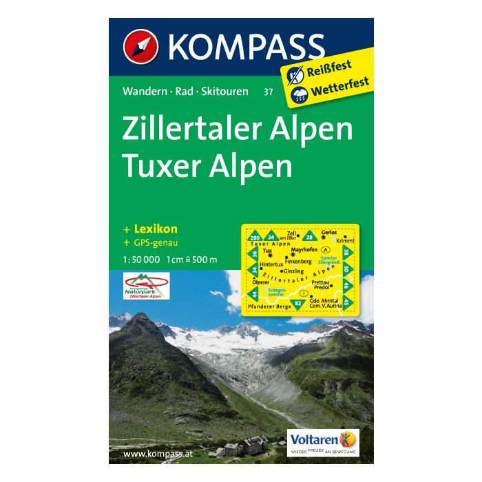
Walking, cycling and ski touring map of the Zillertaler Alps on the Austrian-Italian border. This walking area is readily accessible from Innsbruck by public transport. It offers excellent mountain hiking from short one to two walks up to an 8 day tour of the Zillertal High Route. Bogong staff have hiked in this area and recommend it.
Standard/Free shipping to major capitals takes 2-5 business days (after dispatch), with occasional delays.
Order before 11am - we usually ship the same business day!
Choose Express Post for priority packing and faster shipping.
In stock
Calculate Shipping


