


CHULUS MAP 1:50,000
Quick Overview
Trekking routes to the Chulu peaks from the northern part of the Annapurna circuit between Lower Pisang, Manang, Muktinath and Jomosom.
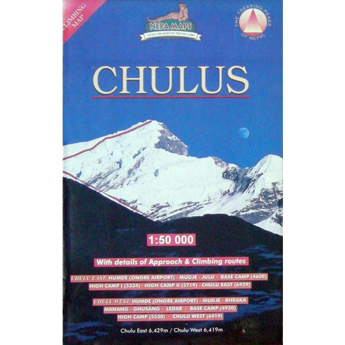
Chulus Map
Scale: 1:50,000
Trekking routes to the Chulu peaks from the northern part of the Annapurna circuit between Lower Pisang, Manang, Muktinath and Jomosom. Also covered are routes to the Tilicho Lake. Contours are at 40m intervals, with relief shading and vegetation colouring. Index lists places, peaks, lakes and passes. Margin ticks show latitude and longitude at intervals of 2’30’’. Additional information includes a profile of this part of the Annapurna circuit and a table showing the routes to the Chulu peaks in stages with altitudes in metres and feet and trekking times.

Standard/Free shipping to major capitals takes 2-5 business days (after dispatch), with occasional delays.
Order before 11am - we usually ship the same business day!
Choose Express Post for priority packing and faster shipping.
Calculate Shipping


