


FAR WEST NEPAL (DOUBLE SIDED MAP) 1:150,000
Quick Overview
This detailed double sided map covers are large piece of territory in Nepal's little travelled far west region.
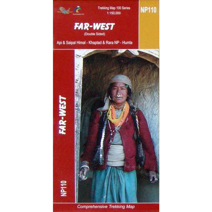
Nepal's Far West - Rara lake to Saipal and Api Map
Scale: 1:150,000
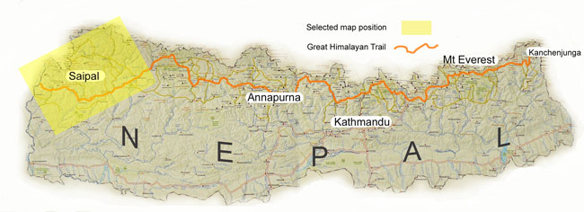
One of a series of maps that cover the Great Himalayan Trail (GHT) in its entirety.
This map is printed on a waterproof and tear-resistant paper. The map covers on one side the area from the Rara Lake to Yulsa (Hilsa Pass) and Talkot, extending on the reverse beyond the Api Nampa Conservation Area and the Khaptad National Park to Dadeldura. Highlighted routes include the Rara Lake Circuit, the Khaptad Trek, the Api Trek and several routes connecting then to the two GHT treks: the GHT Cultural Trail and the GHT High Route. Contours are at 80m intervals. The map includes a route profile of the GHT High Route between Gamgadhi and Hilsa.
Main trekking routes are prominently highlighted, as are selected settlements along them, indicating where tourist accommodation and other services are provided. Also clearly marked are campsites or base camps and various places of interest. The maps also show other local trekking paths, often providing variants or shortcuts to the main routes. Latitude and longitude coordinates are given as margin ticks at 5’ intervals.
Standard/Free shipping to major capitals takes 2-5 business days (after dispatch), with occasional delays.
Order before 11am - we usually ship the same business day!
Choose Express Post for priority packing and faster shipping.


