


FLINDERS RANGES MAP 1-350,000
Quick Overview
Flinders Ranges Map by Carto Graphics covers areas in and around the Flinders Range National Park.
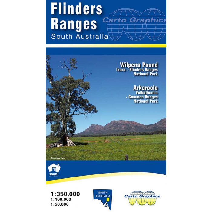
Flinders Ranges Map by Carto Graphics covers areas in and around the Flinders Range National Park.
The front side covers the area from Yunta/Orroroo/Wilmington northwards to Farina/ Mt Freeling/Arkaroola at 1:350,000 scale. It shows full road and public track network, National, Conservation and private parks, Heysen & Mawson Trails, all overlaying an attractive hill-shaded backdrop with extensive geographical feature names.
The reverse side features expanded scale, topographic style maps over selected popuar areas. Wilpena Pound is covered at high detail 1:50,000 scale suitable for walkers and general tourist use in this popular area. The Quorn/ Pichi Richi/ Dutchmans Stern and Mount Brown area is covered by a 1:100,000 scale map as is the Flinders Ranges National Park. Vulkathuna-Gammon Ranges National Park and Arkaroola Protected Area are covered in a single 1:200,000 scale map.
All these maps show road and track detail, contours & hill shading, walking trails, campgrounds, and significant features. Also includes are tables for fuel availability, distance chart and station stays & drives.
Size 690mm x 1000mm folded to 140mm x 250mm. Flinders Ranges Map – Carto Graphics.
Standard/Free shipping to major capitals takes 2-5 business days (after dispatch), with occasional delays.
Order before 11am - we usually ship the same business day!
Choose Express Post for priority packing and faster shipping.
Calculate Shipping


