


GHOREPANI GHANDRUK MAP 1:50,000
Quick Overview
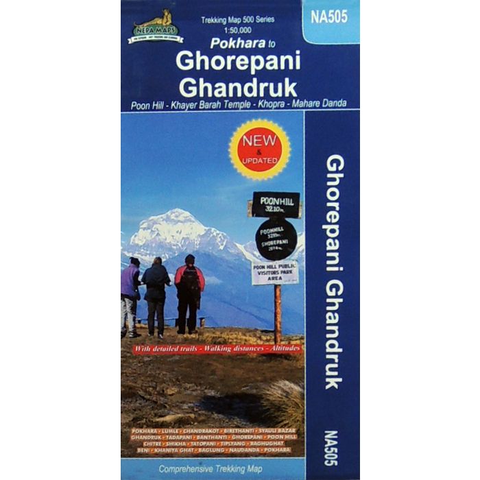
Detailed topographic contour map of the trekking area north-west of Pokhara, around Ghandruk and Ghrorepani, extending north to Tatopami and west to Baglung.
Ghorepani Ghandruk Map
Scale: 1:50,000
Trekking area north-west of Pokhara, around Ghandruk and Ghrorepani, extending north to Tatopami and west to Baglung. Contours are at 40m intervals, with relief shading and vegetation colouring. Margin ticks show latitude and longitude at intervals of 2’30’’. Index lists places, peaks, lakes and passes. Additional information includes tables showing various trekking routes in stages with altitudes in metres and feet and trekking times.

Standard/Free shipping to major capitals takes 2-5 business days (after dispatch), with occasional delays.
Order before 11am - we usually ship the same business day!
Choose Express Post for priority packing and faster shipping.


