KOMPASS SILVRETTA VERWALLGRUPPE Map 1:50,000
$32.95
Quick Overview
Detailed contour map of the Silvretta region in Austria showing hiking and ski touring routes.
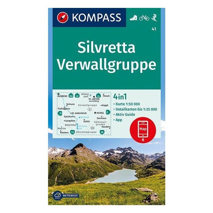
Enjoy hut to hut walking in the magnificent Austrian Alps with the aid of this map. Map covers major peaks such as Piz Buin and Dreilanderspitze. Huts in this area are open not only for the summer hiking season but also huts such as Heidelberger Hutte, Jamtal Hutte and Wiesbadner Hutte have a winter season as the ski touring in the area is exceptional.
- Contour, topographic map
- 1:50,000
- Printed on waterproof paper
- Four detailed 1:25,000 maps of areas around St. Anton, Tschagguns, Ischgl, and Gaschurn included in accompanying booklet.
Find more info on hiking in the Silvretta in our blog here.
Standard/Free shipping to major capitals takes 2-5 business days (after dispatch), with occasional delays.
Order before 11am - we usually ship the same business day!
Choose Express Post for priority packing and faster shipping.
In stock
Calculate Shipping


Related Products
Check items to add to the cart or