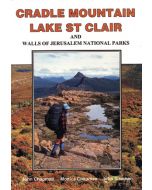
LAKE ST CLAIR DAY WALK MAP

Quick Overview
Cradle Mountain - Lake St Clair National Park encompasses a wide range of rugged mountain scenery, glacial tarns, forest and alpine moorlands. At 167m Lake St Clair is the deepest lake in Australia.
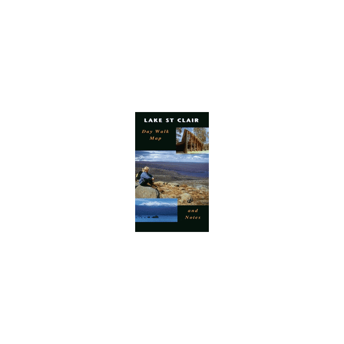
Lake St Clair Daywalk Map
Cradle Mountain - Lake St Clair National Park encompasses a wide range of rugged mountain scenery, glacial tarns, forest and alpine moorlands. At 167m Lake St Clair is the deepest lake in Australia.
This map highlights the walking tracks and features tourist information along with general topographic detail. The notes on the reverse side contain information on the walking tracks around the lake and nearby mountains, bushwalking tips and safety essentials.
Standard/Free shipping to major capitals takes 2-5 business days (after dispatch), with occasional delays.
Order before 11am - we usually ship the same business day!
Choose Express Post for priority packing and faster shipping.
Calculate Shipping