


MERIDIAN DANDENONG RANGES & LYSTERFIELD HILLS MAP 1-20,000
$10.95
Quick Overview
Double-sided 1:20,000 scale map of the Dandenong Ranges and Lysterfield Hills.
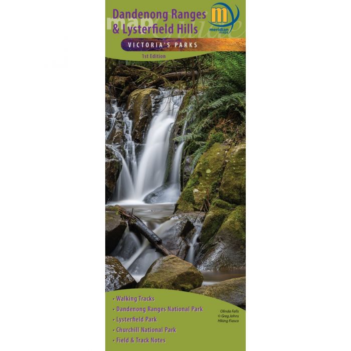
Double-sided 1:20,000 scale map of the Dandenong Ranges and Lysterfield Hills. First comprehensive map that covers all the parks in the area including Dandenong Ranges National Park, Churchill National Park and Lysterfield Park. Inside, 32 walks are described including the Dandenong Trail and the Dandenong Tourist Track. Shows all tourist sites, local producers, picnic grounds and walking tracks, in and around the parks. Ideal for bushwalkers, day-trippers, mountain bikers and holidaymakers.
- All new mapping
- Dandenong Ranges Trail
- Dandenong Ranges Tourist Track
- Dandenong Ranges National Park
- Churchill National Park
- Lysterfield Park
- Track notes to 32 walks
- Mountain Bike and other Tourist information
Technical Specifications
- Scale: 1:20,000
- Edition: 1st
- Map size (width by height): 600 mm by 750 mm flat
- ISBN: 9781920958442
- Weight 0.06 kg
Standard/Free shipping to major capitals takes 2-5 business days (after dispatch), with occasional delays.
Order before 11am - we usually ship the same business day!
Choose Express Post for priority packing and faster shipping.


