MERIDIAN MORNINGTON PENINSULA WALKS MAP 1-20,000
Quick Overview
Covers the entire Two-Bays Walking Track from Dromana to Cape Schanck and The Coastal Walk from Cape Schanck to Portsea.
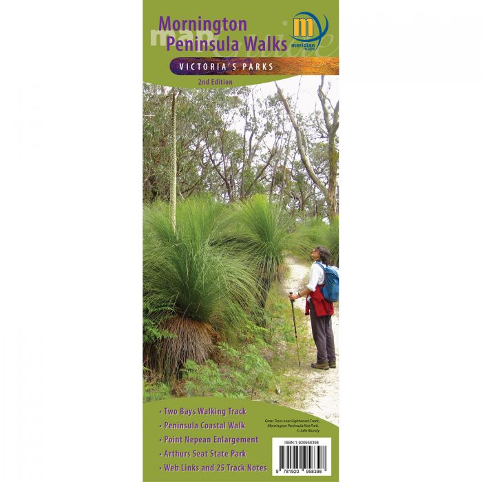
Mornington Peninsula Walks Map Guide 2nd Edition is a double-sided, multi-scaled map of Mornington Peninsula National Park, Point Nepean and Arthurs Seat State Park.
Covers the entire Two-Bays Walking Track from Dromana to Cape Schanck and The Coastal Walk from Cape Schanck to Portsea.
Shows all tourist sites, wineries, picnic grounds and walking tracks, in and around the parks, 25 Walking Track notes in the parks and reserves plus information on the coastal formations, history and development of parks compliments the map.
Ideal for bushwalkers, day trippers and holidaymakers.
- Scales 1:20,000 and 1:25,000 Maps
- New Edition 2021
- All new mapping
- Two-Bays Walking Track
- The Coastal Walk
- Mornington Peninsula National Park
- Point Nepean National Park
- Arthurs Seat State Park
- Track notes to 25 walks
- Historical & Tourist Information
- Map size 594mm(W) x 750mm(H) flat
- ISBN: 9781920958398
- Weight 60g
- Format: Folded, Flat, Laminated, Folded & Laminated
Standard/Free shipping to major capitals takes 2-5 business days (after dispatch), with occasional delays.
Order before 11am - we usually ship the same business day!
Choose Express Post for priority packing and faster shipping.
Calculate Shipping