


MERIDIAN PYRENEES TOURING MAP 1-50.000
Quick Overview
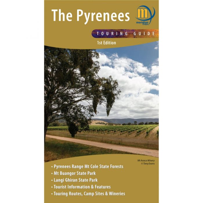
Covering The Pyrenees from Beaufort to Redbank and Navarre to Avoca.
For the first time the entire Pyrenees region is available on a single double-sided 1:50,000 scale map. Covering The Pyrenees from Beaufort to Redbank and Navarre to Avoca. Ideal 4-wheel drive and touring map which highlights all the tourist activities and features of the region such the wineries, historic areas, picnic grounds and more. Includes the long distance trail Pyrenees Endurance Track, as well as the walks around Mt Buangor and Mt Cole. Includes pet-friendly campgrounds, accommodation, local produce, petrol stations, waterfalls and more tourist information.
- New Map for The Pyrenees
- Published August 2021
- Scale 1:50 000
- Mt Cole and The Pyrenees State Forests
- Mt Buangor & Langi Ghiran State Parks
- Detailed road and track information
- Facility and tourism symbols
- Highlights long distance tracks and trails
- Map size 700mm(H) x1000mm(W) flat
- ISBN: 978-1920958428
- Folded, Folded/Laminated, Flat and Laminated
- Weight 90g
Standard/Free shipping to major capitals takes 2-5 business days (after dispatch), with occasional delays.
Order before 11am - we usually ship the same business day!
Choose Express Post for priority packing and faster shipping.


