


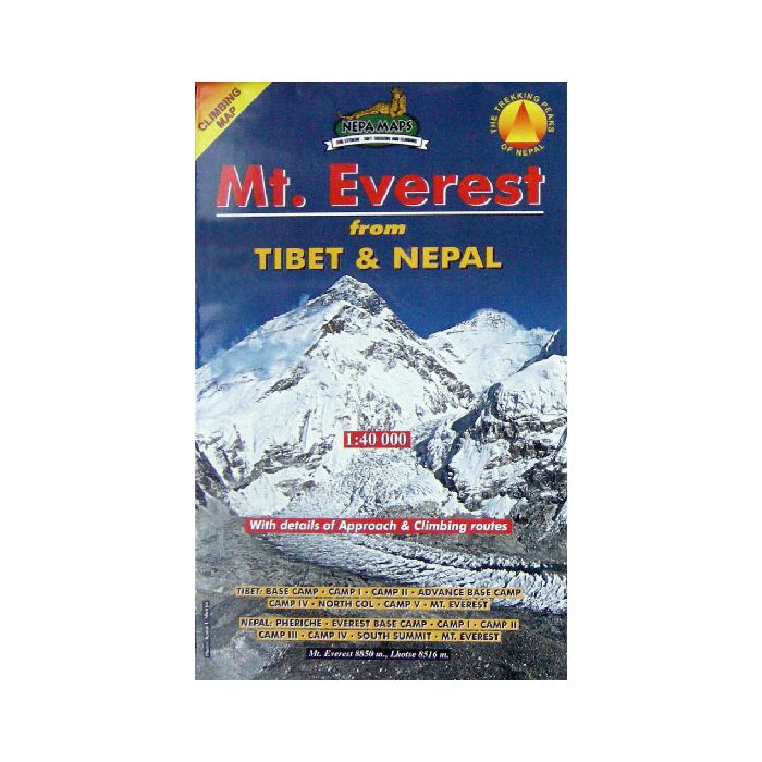
MT EVEREST CLIMBING MAP (FROM TIBET & NEPAL) 1:40,000
Quick Overview
This map is a perfect aid whether you are thinking of climbing Everest or just have an interest in climbing history of this widely written about mountain.
Mt Everest Map
Scale: 1:40,000
Mount Everest and its approaches from both Nepal and Tibet.
On the Nepali side the map shows the trekking route from Pangboche to the old and the new Everest Base Camps, plus the different climbing routes to the summit across the Western Cwm or over the Lho La (NW Col) and along the Western Ridge. Also marked is the trekking route from Dingboche to the Pareshaya Gyab (Island Peak Base Camp) and the Base Camp for Lhotse, with climbing routes to both summits.
On the Tibetan side, the map shows the climbing routes from the Base Camp to the summit across the Rongpu/Rongbu/Rongbuk Glaciers, including the eastern variant along the Karda/Kharta and Kangshung/Kangxung/Khangshung Glacier to the South Summit or the South Col (Nan’ao).
Contours are at 40m intervals with relief shading. Margin ticks give latitude and longitude at intervals of 2'30'. Numerous surrounding peaks and glaciers are named, and base and advance camps on both sides are prominently marked. On the Nepali side tourist accommodation and temples are also shown. The index lists settlements, camps, peaks, passes and lakes. Also provided are lists showing various stages of the trekking and ascent routes on the Nepali side with altitudes in metres and feet.
Standard/Free shipping to major capitals takes 2-5 business days (after dispatch), with occasional delays.
Order before 11am - we usually ship the same business day!
Choose Express Post for priority packing and faster shipping.


