


MUSTANG MAP 1:100,000
Quick Overview
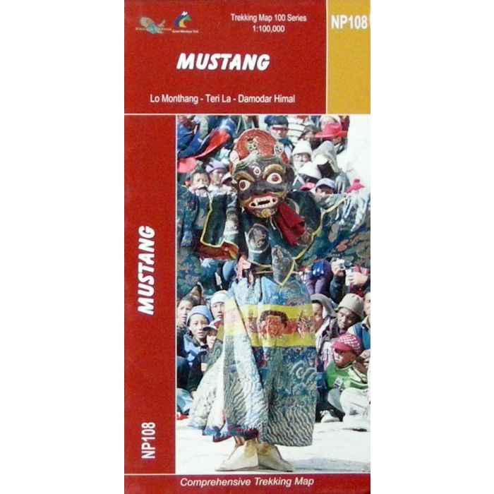
Mustang Nepal Map
Scale: 1:100,000
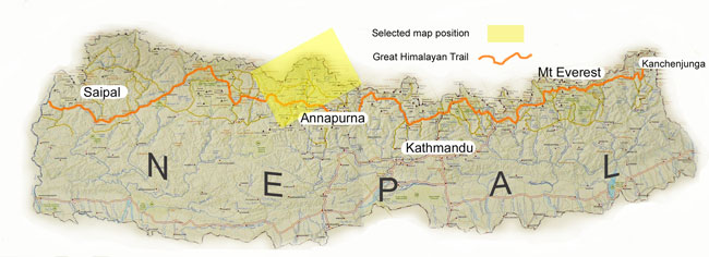
One of a series of maps that cover the Great Himalayan Trail (GHT) in its entirety.
This map is printed on a waterproof and tear-resistant paper. The map shows the region north of the upper section of the Annapurna Circuit, beyond Jomsom/Jomosom and Muktinath, and highlights the route to Garphu, the Mustang to Phu trek, the variant connecting the area with Naar, etc. Also highlighted is the GHT High Route, part of which overlaps with the Annapurna Circuit. Contours are at 40m intervals. Route profile shows the Annapurna section of the GHT High Route between Dharapani and Santa.
Main trekking routes are prominently highlighted, as are selected settlements along them, indicating where tourist accommodation and other services are provided. Also clearly marked are campsites or base camps and various places of interest. The maps also show other local trekking paths, often providing variants or shortcuts to the main routes. Latitude and longitude coordinates are given as margin ticks at 5’ intervals.
Standard/Free shipping to major capitals takes 2-5 business days (after dispatch), with occasional delays.
Order before 11am - we usually ship the same business day!
Choose Express Post for priority packing and faster shipping.


