SPATIAL VISION MAP - OTWAYS CENTRAL

Quick Overview
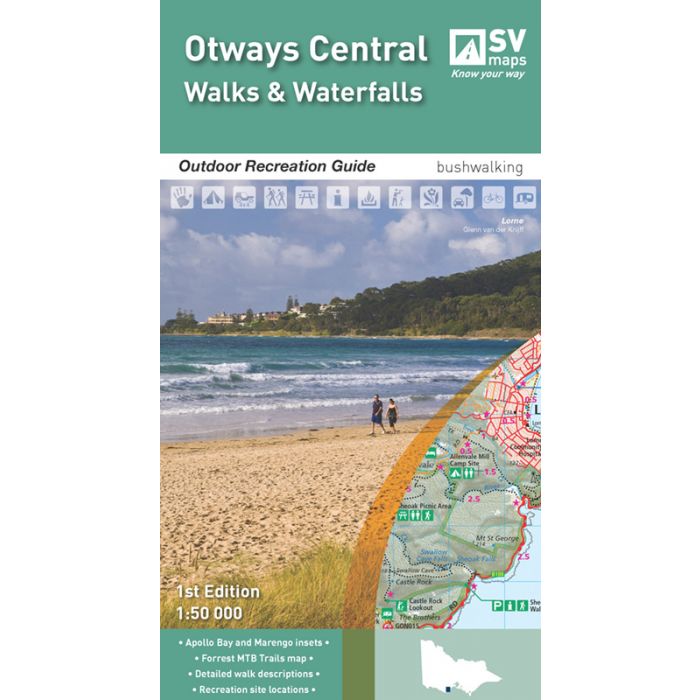
SCALE: 1:50,000
COVERAGE: Deans Marsh, Barongarook, Barwon Downs, Lorne, Forrest, Lake Elizabeth, Wye River, Kennett River, Skenes Creek, Apollo Bay, Marengo
IDEAL FOR: Bushwalking, mountain biking, trail bike riding, car touring, four wheel driving, water sports
EDITION: 1
SIZE (folded): 135 mm x 250 mm
SIZE (unfolded): 675 mm x 1000 mm
The new map of the central Otways Range provides detailed topographic information of the region to aid in exploring the region and the many recreational features on offer. There are numerous long and short walks available and the map provides detailed walk notes on each. Detailed inset maps of Forrest, Apollo Bay and Marengo also highlight the many walks and recreation features around each town. The Forrest inset map also details the numerous mountain bike trails in the area.
The reverse of the map provides detailed information about the history of the region, the main tourist sights, flora and fauna of the region and GPS references for the main recreational locations.
Standard/Free shipping to major capitals takes 2-5 business days (after dispatch), with occasional delays.
Order before 11am - we usually ship the same business day!
Choose Express Post for priority packing and faster shipping.
Calculate Shipping