


OTWAYS - SHIPWRECK COAST MAP
$9.95
Quick Overview
Detailed topographical map covering the entire Otway coast.
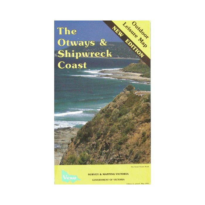
The Otways & Shipwreck Coast
Scale 1:50,000
Outdoor Leisure Map
This detailed topographical map covers the entire Otway coast by means of a number of insets. It also has walk notes and other information of the region.
Areas covered include:
- Lorne and the many walking tracks to waterfalls in the hinterland behind
- Cape Otway
- Angahook Lorne State Park
- Otway National Park
- Entire coast from Aireys inlet to Port Campbell
- Lake Elizabeth
- Blanket Bay
Standard/Free shipping to major capitals takes 2-5 business days (after dispatch), with occasional delays.
Order before 11am - we usually ship the same business day!
Choose Express Post for priority packing and faster shipping.


