ROOFTOP JAMIESON-LICOLA ADVENT MAP
Quick Overview
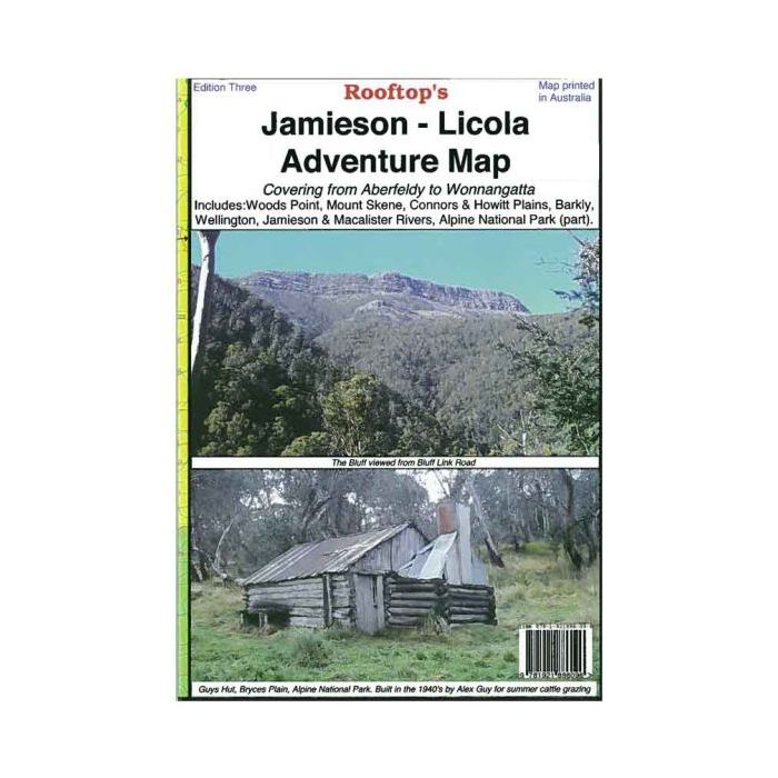
Rooftop Map Jamieson Licola Adventure: It includes Woods Point, Mount Skene, Macalister and Thomson Rivers.
Coverage is from Goughs Bay, Jamieson & Howqua River in the north. Upper Thomson, Aberfeldy and Licola in the south.
Alpine National Park, Wellington, Jamieson, Connors and Howitt Plains. Scale is 1:100,000.
The reverse of the map has a 1:50,000 scale enlargement titled ‘Sheepyard Flat – Caledonia Valley Forest Activities Map’ with contours.
Shown are all parks, reserves and state forests. GPS mapping technology is used for plotting all roads & tracks.
Explore the Upper Goulburn, Jamieson and Licola region as you’ve never seen it before.
Recommended for 4WD activities, Dirt Bike Riding, Bushwalking or anything outdoors.
Standard/Free shipping to major capitals takes 2-5 business days (after dispatch), with occasional delays.
Order before 11am - we usually ship the same business day!
Choose Express Post for priority packing and faster shipping.
Calculate Shipping


-
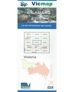 VICMAP 50K WALHALLA 8122-S$12.95