


ROOFTOP MANSFIELD-MT HOWITT
$8.95
Quick Overview
Recommended map for exploring Craig´s Hut, Mount Stirling and Sheepyard Flat.
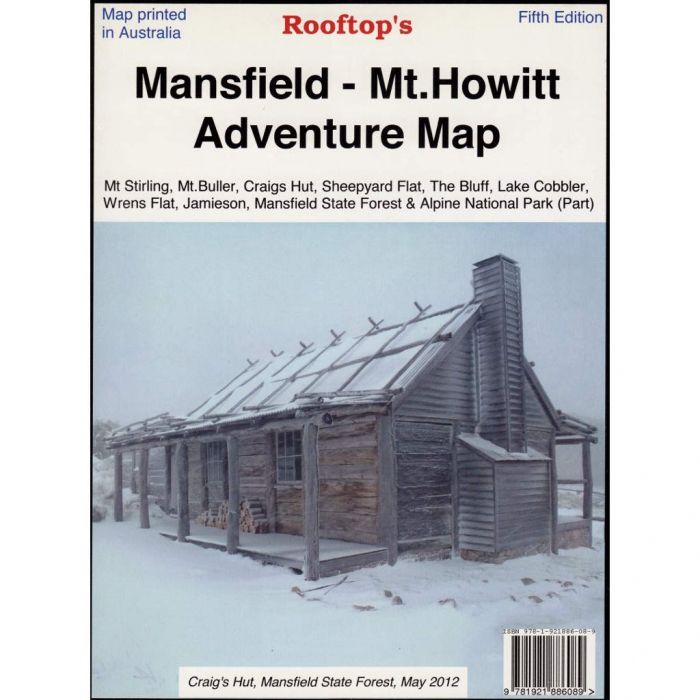
Map coverage is from Mansfield and Lake Cobbler in the north to Jamieson, Kevington and Mount Sunday in the south. It includes Craig's Hut, Sheepyard Flat, Mount Buller, Mount Stirling, Howqua Hills, Jamieson River, Mansfield State Forest, Alpine National Park (part), King Billy, and Macalister Springs.
Scale is 1:100,000.
KEY FEATURES
- Track classifications
- Camping and facility symbols
- Fishing spots
- GPS coordinates
- The reverse of the map has a 1:50,000 scale enlargement titled 'Sheepyard Flat - Craig's Hut Forest Activities Map' with contours
- All parks, reserves and state forests are shown and all roads and tracks have been plotted using GPS mapping technology
- Map opens out to 700mm x 385mm, printed on both sides
- Fifth edition (2013)
Standard/Free shipping to major capitals takes 2-5 business days (after dispatch), with occasional delays.
Order before 11am - we usually ship the same business day!
Choose Express Post for priority packing and faster shipping.
In stock
Calculate Shipping


You may also like
-
 GARMIN eTREX 32x$529.00

