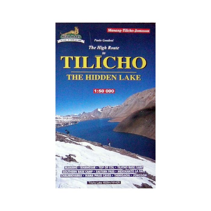
TILICHO (THE HIDDEN LAKE) MAP 1:50,000
Quick Overview
Travel in the footsteps of Maurice Herzog and his famous ascent of Annapurna.
Tilicho - The Hidden Lake
Scale: 1:50,000
Tilicho Lake is on the northern slopes of the Annapurna massif. The map covers the trekking route from Jomosom/Jomsom eastwards to the Tilicho Lake and beyond it to Manang, providing an alternative variant to the standard Annapurna Circuir route via Kagbeni and Muktinath. Contours are at 40m intervals, with relief shading and vegetation colouring. Index lists places, peaks, lakes and passes. Additional information includes an inset showing the whole of the Annapurna Circuit from Pokhara, a profile of the Tilicho route, plus tables showing the route in stages with altitudes in metres and feet and trekking times.
Titles in this series have cartography is based on the country’s topographic survey, enhanced by relief shading, colouring and graphics to show various features of the terrain, including glaciers, forested or cultivated areas, etc. Numerous peaks, with additional spot heights, plus names of glaciers and mountain ranges are prominently shown. The network of rivers, streams and lakes is shown in great detail, with many smaller rivers and lakes named.

Standard/Free shipping to major capitals takes 2-5 business days (after dispatch), with occasional delays.
Order before 11am - we usually ship the same business day!
Choose Express Post for priority packing and faster shipping.


