


VICMAP 50K MALLACOOTA
$12.95
Quick Overview
Ideal map for walking and exploring in the Mallacoota Inlet region.
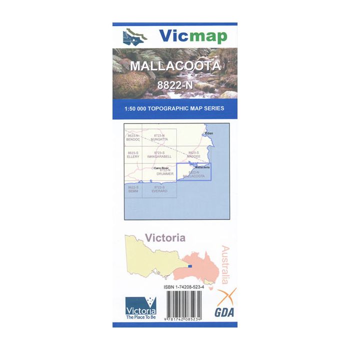
Mallacoota 1-50,000 scale Victorian Topographical map is used for Walking, 4WD, Fishing, Camping, Motorcycle, both On and Off Road, Gold Prospecting and for those simply going for a family weekend drive.
Topographical maps show not only Contours of the Terrain but Walking Tracks, Sealed and Unsealed Roads, Rivers, Creeks, Lakes, Historical Point of Interest, Old Mine Sites and both National and State Park areas.
Features
- Mallacoota Inlet
- From the Victorian NSW Border to Wingan Inlet
- Part of Croajingolong National Park and Wilderness Coast
- Gabo Island
Standard/Free shipping to major capitals takes 2-5 business days (after dispatch), with occasional delays.
Order before 11am - we usually ship the same business day!
Choose Express Post for priority packing and faster shipping.


