


ISLAND PEAK MAP 1:40,000
Quick Overview
Island Peak Map
Scale: 1:40,000
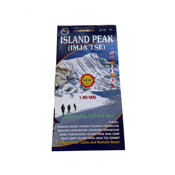
Island Peak is one of the easiest and most popular 6,000 trekking peaks in Nepal. This map shows the trekking route from Namche Bazar to Island Peak 6189m, including the route up the mountain. An inset at 1:50,000 extends the coverage down the Dudh Koshi Valley to Lukla. Contours are at 40m intervals, with relief shading and vegetation colouring. Index lists places, peaks, lakes and passes. Margin ticks show latitude and longitude at intervals of 2’30’’. Additional information includes a profile of the route and tables showing the route in stages with altitudes in metres and feet and trekking times.
- Inset maps of Namche Bazar and Lukla
- Routes on both the south and north sides are shown
- Climbing routes on Ama Dablam SW ridge and NW ridge are shown also
- Trekking routes in the area are covered including to Gokyo and Kumbu valley
New edition 2022
Nepa Map Publisher
Standard/Free shipping to major capitals takes 2-5 business days (after dispatch), with occasional delays.
Order before 11am - we usually ship the same business day!
Choose Express Post for priority packing and faster shipping.
Calculate Shipping


