


KILIMANJARO NAT PARK MAP & GUIDE 1:100,000
Quick Overview
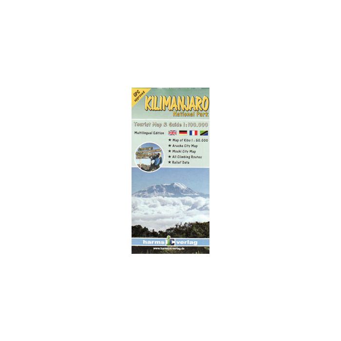
Detailed 1:100 000 topographic map of the extended Kilimanjaro National Park area contains contours, coloured elevation layers and vegetation zones. To improve its 3D impression of the relief, it includes a quality hillshading.
The map shows the official Kilimanjaro trekking routes, all GPS approved and captured by mountain guides, also various map symbols with tourist information - huts, viewpoints, points of interest and more.
Uselful additions are city maps of Arusha and Moshi, a detailed 1:50 000 of the Kibo area and a general map of northern Tanzania.
English, German, French and Kisuaheli
Comprehensive guide in english and german describing the trekking/climbing routes, the geology and botany of the area - also coloured photos.
Page Size: 100 x 202 mm
ISBN 10: 3927468290
ISBN 13: 9783927468290
Publisher: Harms-Ic-Verlag
Published Date: December 2007
Binding: Sheet Map (folded) in wallet
Illustrations: colour
Weight: 70g
Standard/Free shipping to major capitals takes 2-5 business days (after dispatch), with occasional delays.
Order before 11am - we usually ship the same business day!
Choose Express Post for priority packing and faster shipping.
Calculate Shipping


