


LANGTANG MAP 1:125,000
Quick Overview
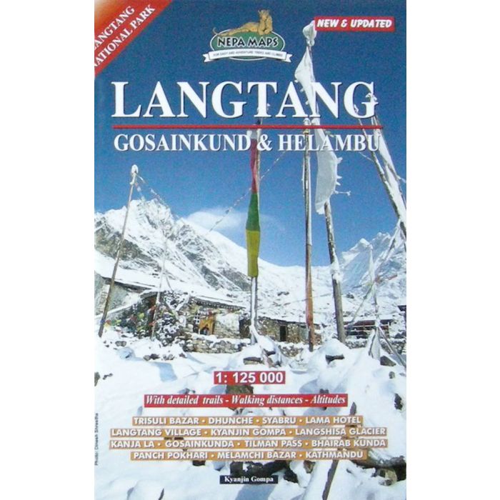
Langtang Gosaikund Helambu Map
Scale: 1: 125,000
This map covers trekking areas of Langtang, Gosaikund and Helambu, immediately north-east of Kathmandu, with numerous trekking routes from the capital, Trisuli, Melamchi Bazar and Chautara northwards towards the Langtang National Park. Contours are at 80m intervals, with relief shading and vegetation colouring. Margin ticks show latitude and longitude at intervals of 5’. Index lists places, lakes and passes. Additional information includes a profile of the main the Langtang Trek and tables showing the route and its variants in stages with altitudes in metres and feet and trekking times.

Standard/Free shipping to major capitals takes 2-5 business days (after dispatch), with occasional delays.
Order before 11am - we usually ship the same business day!
Choose Express Post for priority packing and faster shipping.
Calculate Shipping


