


MERIDIAN OTWAYS TOURING MAP 1-75.000
$14.95
Quick Overview
Topographical map that covers the whole of the Otway National Park.
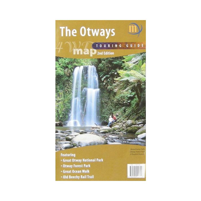
Topographical map that covers the whole of the Otway National Park. Contour interval 20m. The area covered is from the Princes Highway and Colac in the north to the coast and from Anglesea to Princetown.
Features
- The Great Ocean Walk is marked
- Picnic grounds, camp grounds, fireplaces and other items of interest are marked
- Old Beechy Rail trail
- All 4WD/4X4 roads and gates
Standard/Free shipping to major capitals takes 2-5 business days (after dispatch), with occasional delays.
Order before 11am - we usually ship the same business day!
Choose Express Post for priority packing and faster shipping.
In stock
Calculate Shipping


