


SPATIAL VISION MAP - KOSCIUSZKO ALPINE AREA

Quick Overview
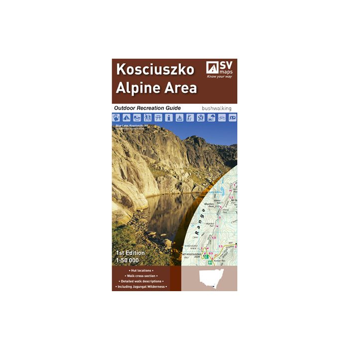
SCALE: 1:50,000
COVERAGE: Khancoban, Jindabyne, Thredbo, Perisher Valley
IDEAL FOR: Bushwalking, skiing, camping, mountain biking and car touring
Edition: 1
SIZE (folded): 135mm wide and 250mm high
SIZE (unfolded): 1000mm wide by 810mm high
The Kosciuszko Alpine Area ORG has detailed walk descriptions of some of the most popular walks in the area, including the Main Range Track, the Kosciuszko Walk and walks in the Jagungal Wilderness. Detailed route notes indicate walk times, distance and level of difficulty of each walk.
The main map covers an area from Khancoban in the west to Jindabyne in the east, and includes the major ski resorts of Perisher, Thredbo and Charlotte Pass. On the reverse, the map area extends northward to include the Jagungal Wilderness Area, noted for its wilderness bushwalking experience.
The Outdoor Recreation Guide is chock-full of information for the outdoor enthusiast; safety tips, park use conditions, camp ground, and hut GPS references, walk cross sections, and detailed route notes. Further to this, the detailed topographic map shows facilities at key locations on the map, route distances, Nordic ski trails, and comprehensive vegetation cover.
Standard/Free shipping to major capitals takes 2-5 business days (after dispatch), with occasional delays.
Order before 11am - we usually ship the same business day!
Choose Express Post for priority packing and faster shipping.
Calculate Shipping


