SPATIAL VISION MAP - NORTHERN GRAMPIANS

Quick Overview
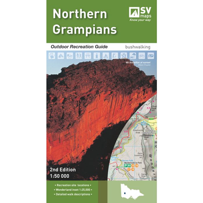
SCALE: 1:50,000
COVERAGE: Halls Gap, Dadswells Bridge, Zumsteins, Lake Lonsdale, Lake Fyans, Lake Bellfield, Wartook Reservoir, Lah-Arum, Brimpaen, Cherrypool
IDEAL FOR: Bushwalking, mountain biking, car touring, rock climbing, water sportsg
EDITION: 2
SIZE (folded): 135mm wide and 250mm high
SIZE (unfolded): 675mm wide and 1000mm high
The Northern Grampians region is one of the most popular destinations in Victoria for bushwalking and outdoor recreation. The second edition of SVmaps’ Northern Grampians map provides all the information you need to explore this region and enjoy the many activities on offer. The detailed topographic map contains the latest road and walking trail networks, including the new trail from Mt Rosea to Borough Huts, and locations of all the recreation sites in the region. A detailed inset of the Wonderland region at 1:25,000 scale detailed the popular features around Halls Gap.
Detailed route information is available for the most popular walking trails, including walk ratings, distances and times, to aid in planning your outdoor exploration of the region. Understand the history, flora and fauna, Brambuk-The National Park & Cultural Centre and additional activities available through the comprehensive information supplied on the reverse of the map. A handy GPS reference of recreation points is supplied to locate the major recreation points.
Standard/Free shipping to major capitals takes 2-5 business days (after dispatch), with occasional delays.
Order before 11am - we usually ship the same business day!
Choose Express Post for priority packing and faster shipping.
Calculate Shipping