TAS FRENCHMANS CAP MAP

Quick Overview
Map of Frenchmans Cap, produced by Tasmap. 1:50000 scale.
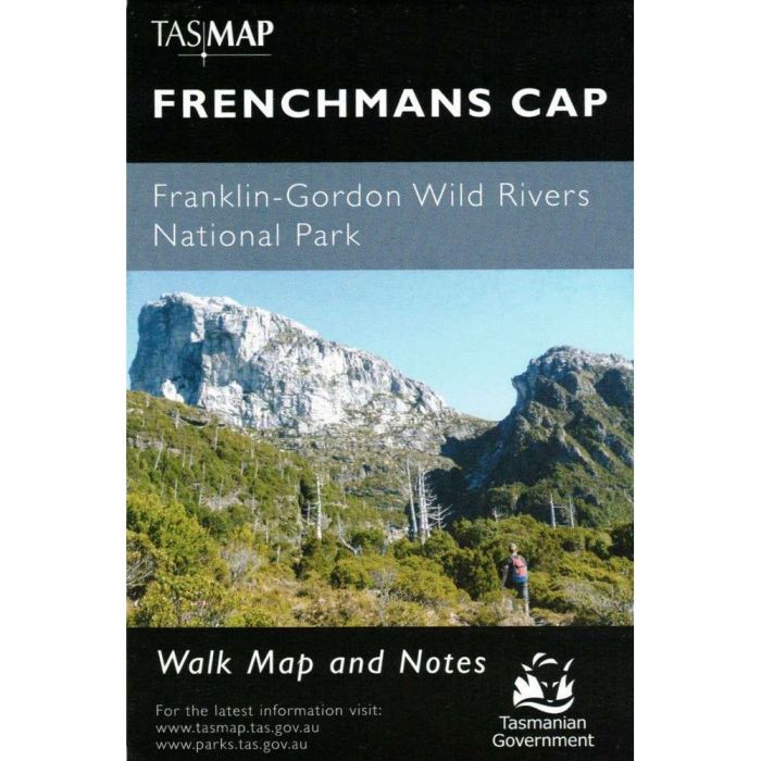
Map of Frenchmans Cap, produced by Tasmap. 1:50000 scale.
The magnificent quartzite dome of Frenchmans Cap (1446m) is a mecca for bushwalkers and climbers. The panoramic view from the peak on a clear day includes Mt Ossa, features of the southern end of Cradle Mountain—Lake St Clair National Park and Macquarie Harbour to the west.
This map highlights the walking tracks and general topographic detail, with the notes on the reverse side introducing visitors to the specific walk details, general bushwalking tips and safety essentials.
- Production Year: 2020
- Datum: Geocentric Datum of Australia 1994 (GDA94)
- Scale: 1:50000
Standard/Free shipping to major capitals takes 2-5 business days (after dispatch), with occasional delays.
Order before 11am - we usually ship the same business day!
Choose Express Post for priority packing and faster shipping.
Calculate Shipping