


TASMAP 50K ADAMSONS TS07

Quick Overview
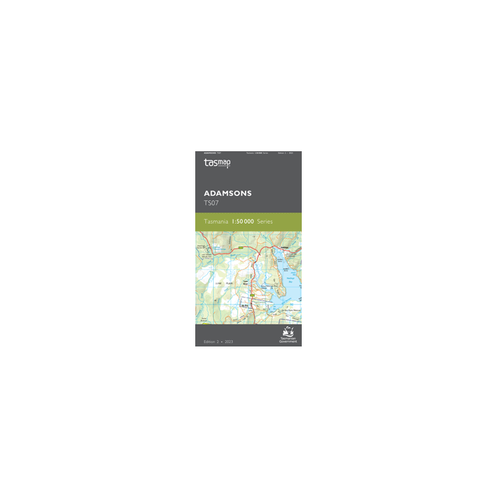
TASMAP is progressively introducing a 1:50,000 Topographic Mapping Series.
This map covers from the southern end of Hartz Mountains National Park to New River Lagoon and east to Southport. The western area is characterised by the rugged topography of the Southwest National Park.
The map name is derived from Adamsons Peak (1225m), accessed by a tough day walk which gives the walker extensive views in good weather. The Moonlight Ridge Track is generally used for access to multi-day walks in Southwest National Park but also makes a great day walk just up to the ridge itself.
The spectacular scenery continues on the way up to Pindars Peak (1250m) where the route to Precipitous Bluff (1145m) and New River Lagoon begins.
There are numerous other attractions shown toward the coast including the stunning Newdegate Cave, the historic Ida Bay Railway and access to the beautiful Southport Lagoon Conservation Area. The towns of Raminea, Strathblane, Southport and Lune River are covered.
The design of the 1:50,000 Map Series provides a clear and accurate portrayal of topographic information, with symbols and map content giving enhanced depiction of buildings, hill shading and a simplified classification of vegetation.
- Edition: 2
- Production Year: 2023
- Datum: Geocentric Datum of Australia 1994 (GDA94)
Standard/Free shipping to major capitals takes 2-5 business days (after dispatch), with occasional delays.
Order before 11am - we usually ship the same business day!
Choose Express Post for priority packing and faster shipping.
Calculate Shipping


