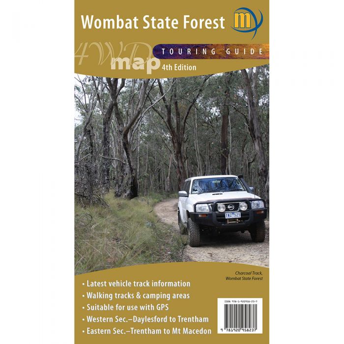
MERIDIAN WOMBAT FOREST 4WD MAP 1-50,000
$14.95
Quick Overview
Map covering the entire Wombat State Forest from Daylesford through to Woodend and the Macedon Ranges.
Highlights all the tourist activities and features of the region such the wineries, mines, mineral spas, picnic grounds and more. Includes the Great Dividing Trail and Wombat Forest Drive. Ideal touring map for 4WD, holiday-makers, bushwalkers and daytrippers.
Features
- Scale: 1:50,000
- Wombat State Forest
- Hepburn and Macedon Regional Parks
- Detailed facility information
- Easy-to-read design
- Highlights Goldfields Tracks and Wombat Forest Drive
- Double-sided
Details
- Edition: 4
- Published: 2016
- Format: Folded, Flat, Laminated
- Map Size: 750mm x700mm flat
- ISBN: 9781920958237
Standard/Free shipping to major capitals takes 2-5 business days (after dispatch), with occasional delays.
Order before 11am - we usually ship the same business day!
Choose Express Post for priority packing and faster shipping.
You may also like


