


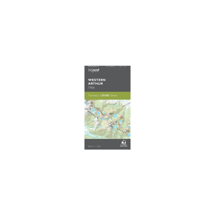
TASMAP 50K WESTERN ARTHUR TR06

Quick Overview
TASMAP is progressively introducing a 1:50,000 Topographic Mapping Series.
This map is an essential navigation tool when traversing the wilderness areas south of Lake Pedder. Several important tracks giving access to the Western Arthur Range, the Eastern Arthur Range, Port Davey and the Huon are a feature of the map. The area may be subject to extreme weather including low visibility, wind, snow and storm at any time of the year.
The design of the 1:50,000 Map Series provides a clear and accurate portrayal of topographic information, with symbols and map content giving enhanced depiction of buildings, hill shading and a simplified classification of vegetation.
- Edition: 2
- Production Year: 2022
- Datum: Geocentric Datum of Australia 1994 (GDA94)
Standard/Free shipping to major capitals takes 2-5 business days (after dispatch), with occasional delays.
Order before 11am - we usually ship the same business day!
Choose Express Post for priority packing and faster shipping.
Calculate Shipping


-
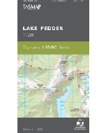 TASMAP 50K LAKE PEDDER TQ06$15.95
 -
 SILVA EXPEDITION MS COMPASS$104.95
 -
 GARMIN eTREX 32x$529.00

